
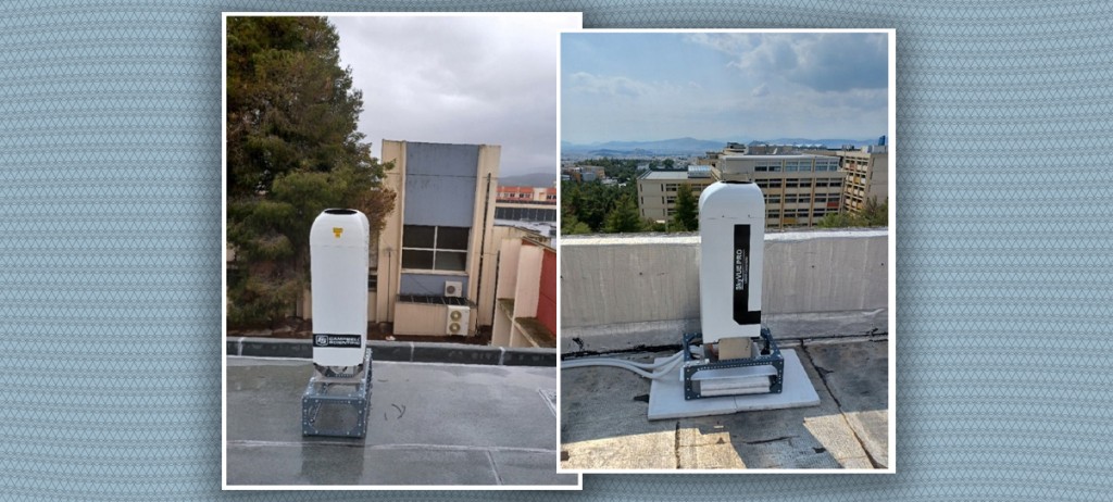

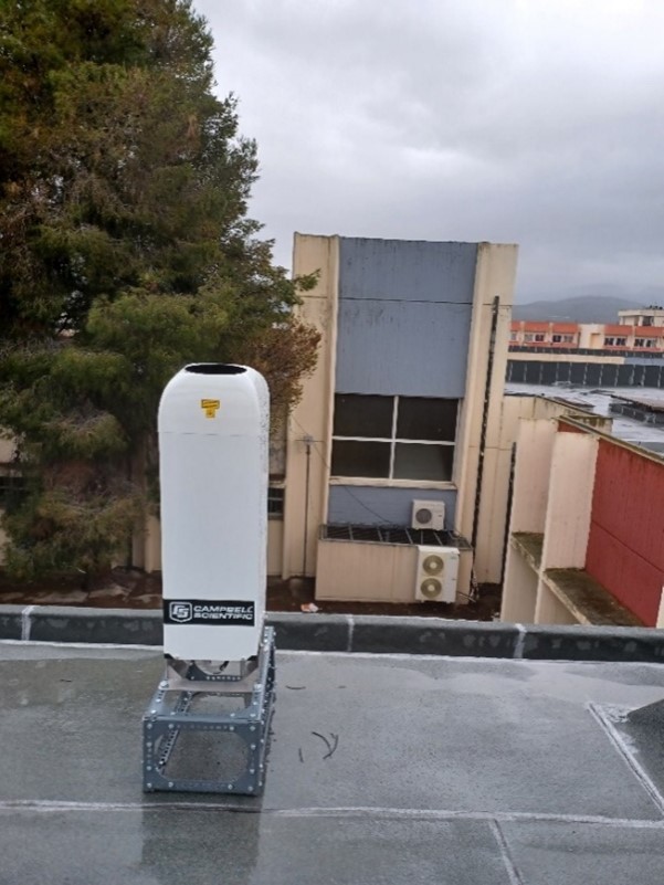
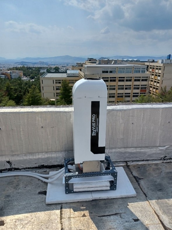
The Department of Aerospace Science and Technology of NKUA recently installed two ceilometers (model: Cambell CS135 Lidar ceilometer) in two different locations (Psachna, Euboea and in the Physics Depratments, Athens). The first instrument is already fully operational in the Laboratory of Satellite Remote Sensing and Image Processing of the Department of Aerospace Science and Technology under the supervision of Assistant Professor Mr. Stavros Kolios with the first research results to be published at International Scientific Conferences. The second one is expected to be put into operational use in the coming months at the Physics Department of EKPA in close cooperation with Professor Konstantinos Kartalis of the Physics Department.
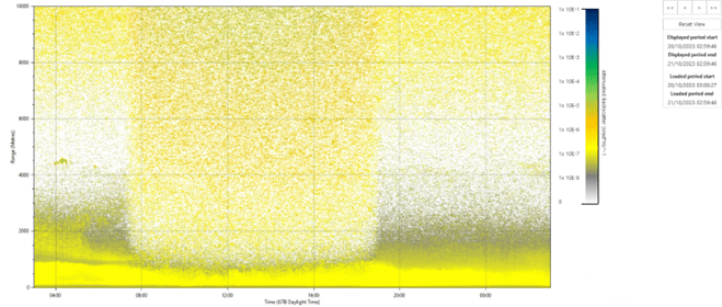
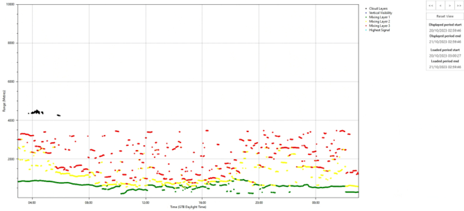
Characteristic examples during the operation of such instruments are provided in Figure 2 and Figure 3. The backscattered radiation beam (920 nm) recorded at time intervals of seconds (Figure 2) giving continuous monitoring of the atmospheric column in real time basis along with a series of very useful parameters such as cloud base height, cloud cover and estimation of atmospheric mixing height (Figure 3).
Lidars light detection and ranging are considered very useful remote sensing instruments. The ceilometers, a specific category of these instruments are widely used in atmospheric sciences. They usually record the cloud base and types, mixing layer and vertical visibility. Such measurements are very useful:
- Αviation because cloud base height information, contributing to flight safety
- Μany meteorological weather forecasting services due to the continuous recording of the atmospheric state and its movements (mixing height estimation).
- Αssessing vertical visibility, possible fog and precipitation.
- In air quality because the degree of alteration of the emitted radiation is significantly affected by aerosols.
- In the recording of climatic characteristics of the wider operating area of the instruments and the study of extreme weather conditions.
- Combined use with satellite data for integrated applications and services as well as calibration of satellite estimates.