
CIVIS—Europe’s Civic University Alliance—has successfully concluded its blended intensive programme (BIP) titled ‘Interplay of Landscape, Tectonics, and Climate Change in the Mediterranean Context’. The course was hosted by the National and Kapodistrian University of Athens, in collaboration with the University of Bucharest, Stockholm University, Aix-Marseille Université, the Paris Lodron University of Salzburg, and the Kefalonia and Ithaca Geopark.

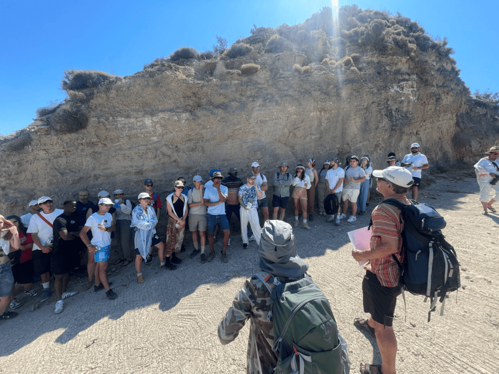
Students conducting fieldwork to investigate the natural processes shaping the landscape.

Students conducting fieldwork to investigate the natural processes shaping the landscape.
The initiative was coordinated by Professor Niki Evelpidou, Dr Anna Karkani, and Dr Giannis Saitis from the Department of Geology and Geoenvironment at the National and Kapodistrian University of Athens, alongside geomorphologists Mihaela Verga, Alfred Vespremeanu-Stroe, and Ion Florin Tătui (University of Bucharest), Arjen Stroeven and Gunhild Rosqvist (Stockholm University), François Sabatier (Aix-Marseille Université), and Andreas Lang (Paris Lodron University of Salzburg). It adopted an interdisciplinary approach to geomorphology, tectonics, and climate change in the Mediterranean region.

Training in the use of specialized equipment and field methodologies at a severely eroded coastal site, equipping students with practical skills in measurement and landscape analysis.
The programme combined online lectures delivered by leading scholars with field-based training in areas of significant geodynamic activity. The in-person component (30 June-4 July 2025) brought together students from across Europe to explore, analyze, and understand landscape evolution, with particular emphasis on:
-Tectonic shifts and their impact on coastal zones and sea level rise,
-Coastal erosion and the use of nature-based solutions,
-Active geomorphological processes shaping the landscape,
-The effects of climate change on landscape dynamics.

Training session on marine terraces—among the most robust indicators of long-term tectonic activity and climatic change.
During the on-site activities, participants engaged with state-of-the-art field methodologies at the forefront of both professional and research practice, acquiring hands-on skills in:
-The use of specialized equipment (RTK-GNSS—high-precision satellite navigation system) for detailed coastal mapping,
-Application of dedicated field mapping tools (ArcGIS Field Maps),
-Automated extraction of coastline features from satellite imagery,
-On-site measurements to calculate vertical land movements, monitor sea-level changes, and identify periods of climatic and tectonic stability.

RTK-GNSS measurements at Myrtos Beach, Kefalonia, a site situated beneath a steep cliff and subject to frequent landslides.

Guided tour of the Kefalonia and Ithaca Geopark facilities.
The entire initiative offered a valuable opportunity for interdisciplinary learning, international exchange of knowledge, and practical training within one of the Mediterranean’s most representative geodynamic environments.

Official welcome at the Regional Authority offices, followed by a meaningful exchange with Mr Sotiris Kouris, Deputy Regional Governor of Kefalonia, and Mr Nektarios Aravantinos, Regional Councillor for the Ionian Islands.

Farewell group dinner, marked by warm smiles and heartfelt moments.
For further information about the blended intensive programme, please visit: Interplay of Landscape, Tectonics and Climate Change in the Mediterranean Context.